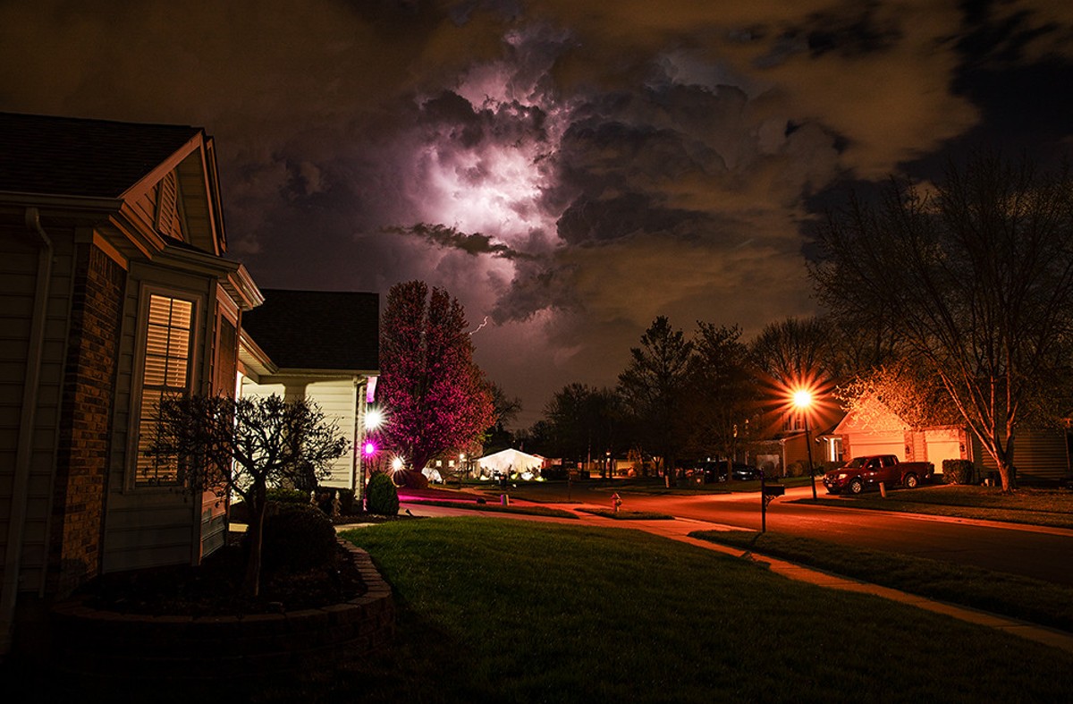
The National Weather Service says yesterday's idyllic (if a little warm!) Easter Sunday is likely to be followed by much different evening tonight, and it's no April Fool's joke. Severe thunderstorms are likely to roll in on the evening of Monday, April 1, with storms "capable of producing large hail, damaging winds and tornadoes" possible.
St. Louis is considered at "enhanced risk," with areas both to the north (Hannibal) and south (Poplar Bluff) both in areas at lower risk. Expect the severe weather to show up as early as 10 p.m. and pass through by 3 a.m. (and hopefully not take your home, or local trailer park, with it).
Severe thunderstorms are expected today. Large hail, damaging winds, and tornadoes are all possible. Stay alert and have a way to receive warnings. pic.twitter.com/nkc5q0V9Ma
— NWS St. Louis (@NWSStLouis) April 1, 2024
Ever helpful, the National Weather Service suggests St. Louis should "stay alert" and "have a way to receive warnings" — which clearly suggests the national guys are not paying close attention to reports from the ground locally. Remember what happened last time we had a tornado watch, in early March? Despite no twister actually touching down in city limits, the City of St. Louis pummeled our phones with a half-dozen calls and texts, even after we confirmed we'd received the messaging.
Despite our annoyance, we'll admit it beats the alternative. And if we had to choose this time between a tornado and no alerts, or excessive alerts and no tornado, we know our pick. Here's hoping the weather — even if not the emergency alert system — complies.


Subscribe to Riverfront Times newsletters.
Follow us: Apple News | Google News | NewsBreak | Reddit | Instagram | Facebook | Twitter | Or sign up for our RSS Feed