There are plenty of articles online — many with clickbait-y headlines — that will tell you all about the "haunted hike" that takes you to the lost towns of Hamburg, Toonerville and Howell, in nearby Weldon Springs, Missouri, typically accompanied by images of a graffitied tunnel, a rusted fire hydrant or an old chimney. The internet is working overtime to make this hike seem exciting, so I laced up my boots and headed out on the 10.5 mile Lost Valley Loop Trail.
I am not an accomplished hiker nor particularly good with directions. In retrospect, it's no surprise I bungled this hike badly. But I discovered a neat hiking path adjacent to the supposedly haunted one and learned a lot about the history of that part of Missouri.
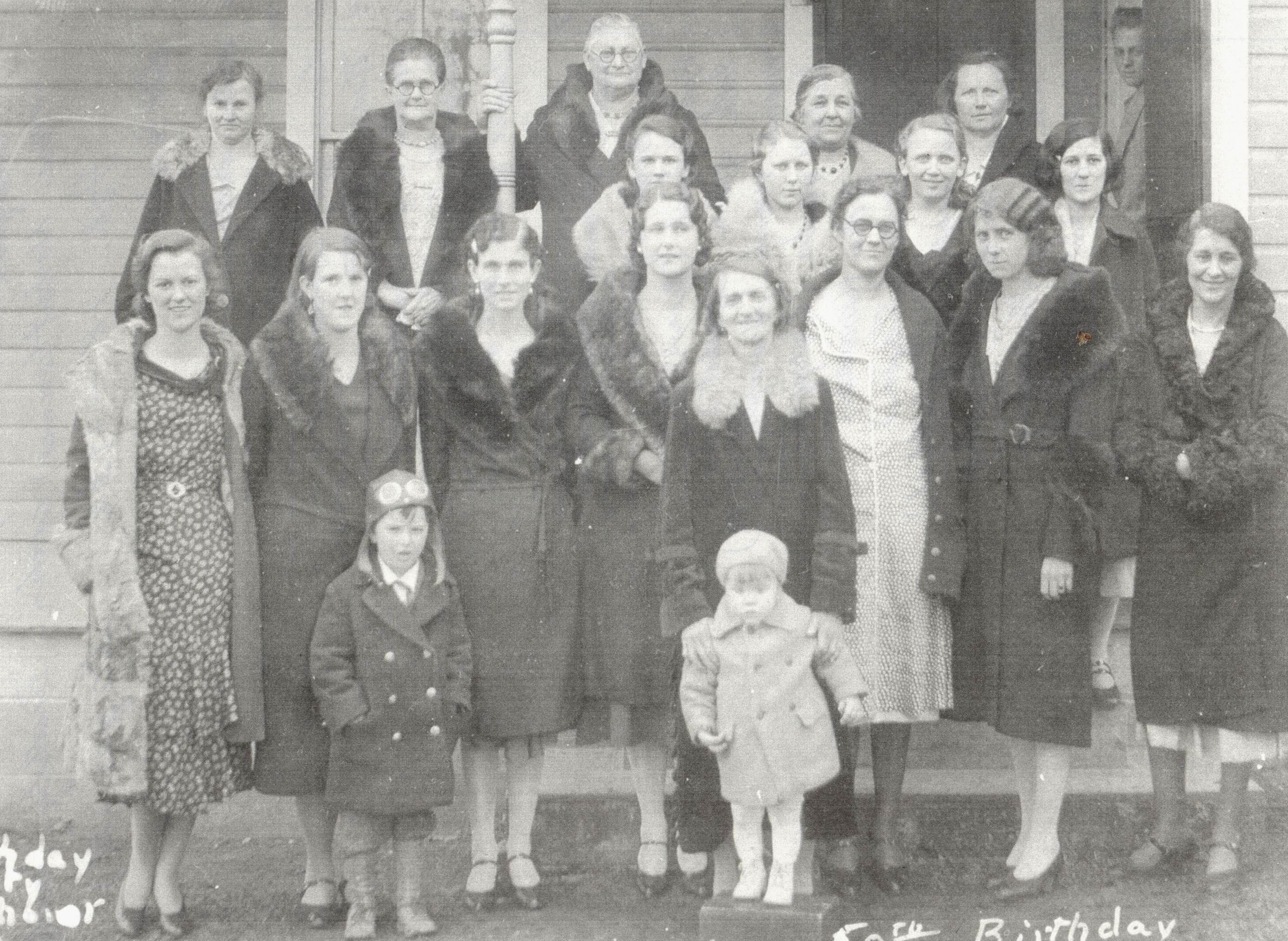
In the 1940s, the U.S. government forced the evacuation of three towns near Weldon Springs so that the area could be used to manufacture explosives needed for World War II.
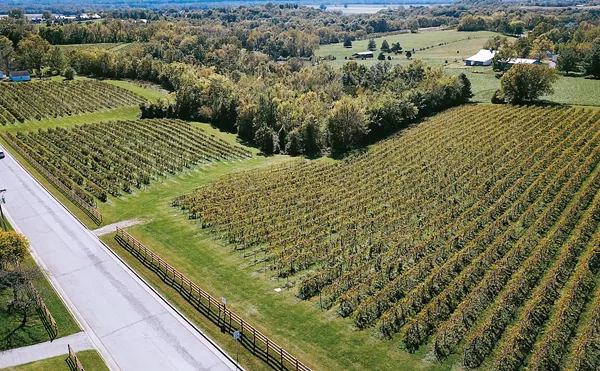
The sites of those former towns are now home to a handful of excellent scenic hikes: the Lewis and Clark, the Lost Valley and the Hamburg Loop, as well as a learning center for the area's strange history.
Along these trails, one can see a few stray remnants of the long-ago evacuated towns, particularly during the colder months when there's less foliage. But the signs of those once-thriving towns don't extend much beyond an out-of-place fire hydrant or a wall that is all but reclaimed by nature.

I saw none of that, as I actually began my hike on the wrong trail. The Howell Trailhead of the Busch Greenway is just down the road from the Lewis and Clark Trail. Greenhorn that I am, that's where I started what I thought was my venture into the haunted woods. Except the woods never quite materialized.
Things started creepily enough. I parked next to a foreboding-looking gate, crossed to the other side of it and started walking.
This doesn't seem haunted, I thought to myself after about a hundred yards, though I didn't care. The tree coverage was minimal along the dirt trail. The sun was shining bright from the blue sky, but the temperature sat perfectly in the mid-70s.
After about 20 minutes, I found myself in the middle of an open prairie. It checked the "deserted" box, but it was a pleasant sort of desertion. I checked my phone and realized the so-called haunted hike was actually a mile or so down the road.
It was a happy accident when I again parked in the wrong spot. After driving about two miles down State Highway 94, I pulled into a parking area on the left when I should have made a right. But, I parked next to a tree line and on the immediate other side of it was a magnificent view of the Missouri River, a vista made all the sweeter by it being truly stumbled upon.
I set out once again on ole 94 to find the haunted hike, but when I spotted the building housing the Weldon Springs Site Interpretive Center, I knew that I'd found something way more interesting than even those clickbait headlines promised.

The interpretive center, opened in 2021, serves as a museum of the area's pre- and post-World War II history. There are photos of the houses that had to be abandoned when the munitions business moved in, including the home of Francis Howell, built in the 1700s.
The area was completely abandoned in 1941, and in the mid 1950s, the U.S. Atomic Energy Commission took possession of much of the land to be used as part of the country's nuclear weapons program for the next decade.
That was just as hazardous as it sounds. Which is why adjacent to the museum there's a 41-acre "disposal cell" that gives off similar vibes to what you'd see if you did a Google image search for "Chernobyl plant today."
It's basically a massive mound of white-gray rock beneath which all the radioactive material has been sealed.
A neat set of steps leads to the top of the rocky mound. The top of the site has a pastoral view that is made a little bit eerie when you know what's (a very far, sealed-off and safe distance) below your feet.
You can see a lot hiking in Missouri, even if you never do find the right trail.
Check out our summer guide for more on how to have a great St. Louis summer.

Follow us: Google News | NewsBreak | Reddit | Instagram | Facebook | Twitter